UKOGL has recently added to its coverage of onshore well data that’s available to download from the interactive map.
Transcribed and reformatted from a collection of National Coal Board data, it was originally supplied on 5 1/4″ floppy disks and is now availble to download as LAS data files.
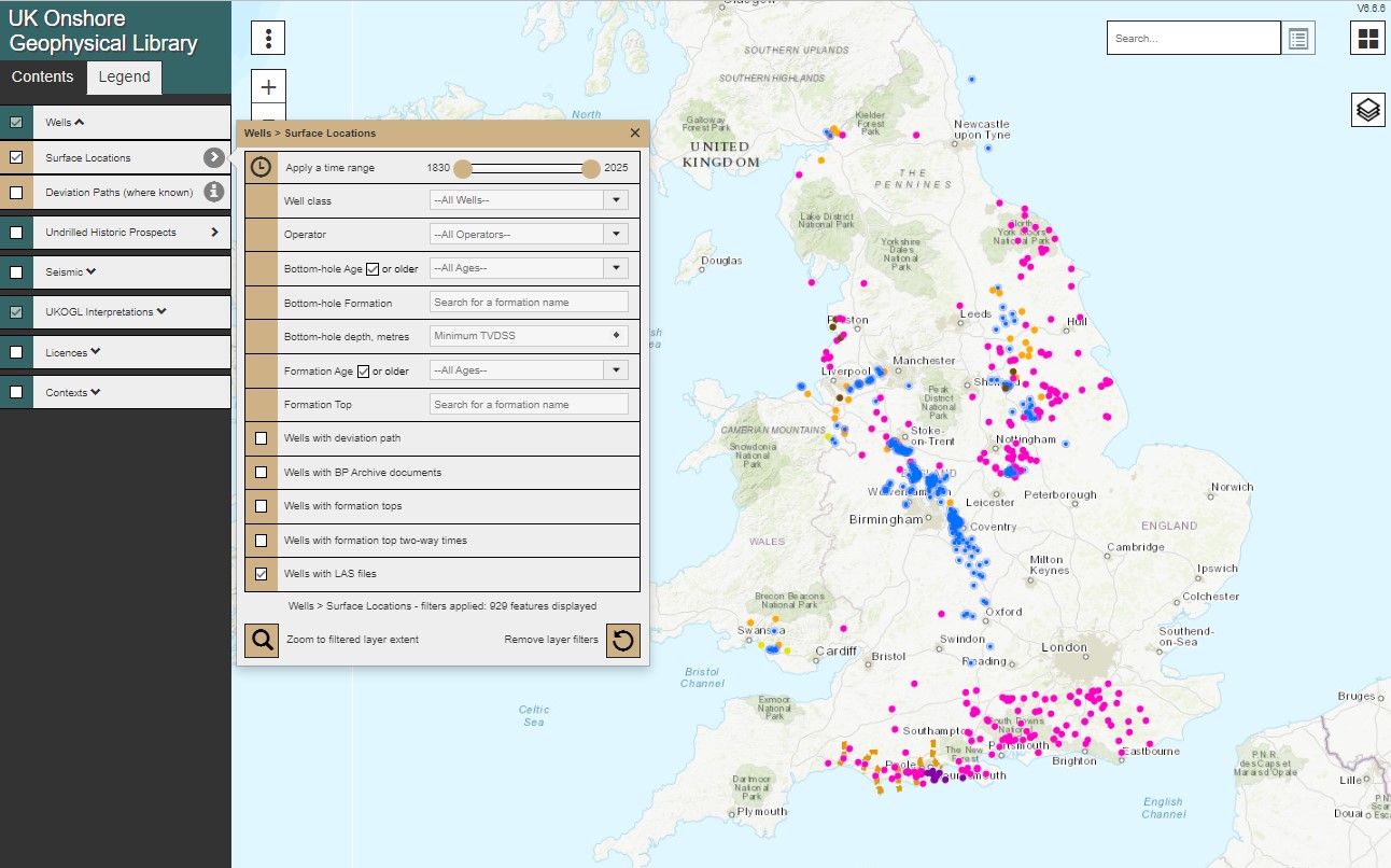
Onshore wells with available LAS data can be filtered to highlight the coveage and provide access to the files via the interactive map.
This data is made available as part of the ongoing project to provide access to UK onshore LAS data via the UKOGL interactive map.