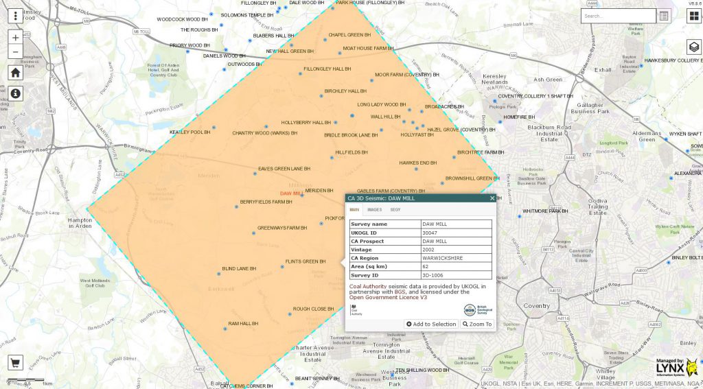
UKOGL are pleased to announce that post stack seismic data and digital LAS data located over the Daw Mill 3D survey in Warwickshire have been added to the UKOGL archive. The data is available to download via the UKOGL interactive map.
The new Coal Authority data over the area displayed in the map below can be accessed for free under the Open Government Licence.

The available post stack data for the Daw Mill survey was originally recorded and processed in 2002, 2004, 2005 and 2011, expanding the coverage to the South West of the original 2002 survey with each subsequent year of recording.
The final 2011 merged and reprocessed post stack 3D data volume provides full seismic data coverage over the Daw Mill survey area.
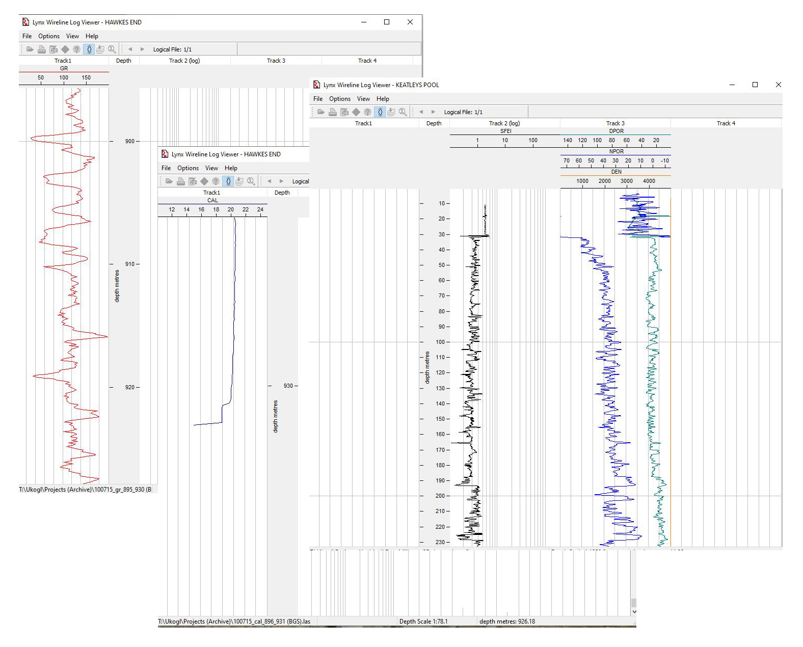
In support of the available 3D seismic, LAS data is available to download for 32 of the 37 coal boreholes that are currently displayed by UKOGL over the area of the Daw Mill 3D survey, and this includes comprehensive logging suites for the newly added Eaves Green Lane BH and Keatley Pool BH.
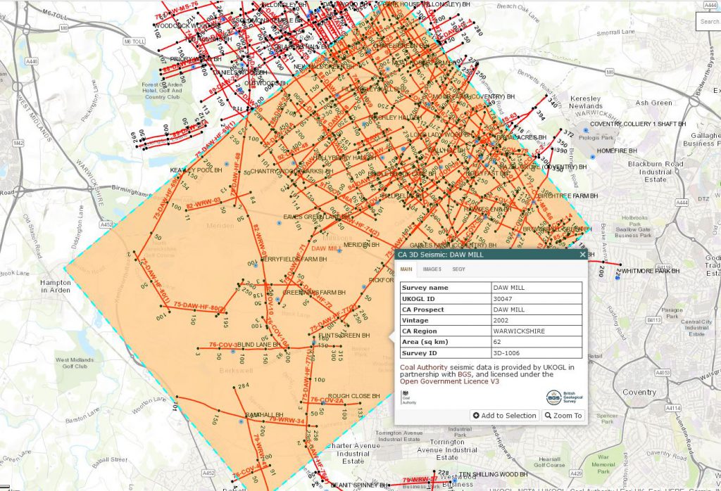
These two new data sets add to the coverage that’s already provided by the 2D Coal Authority seismic data over this area of Warwickshire (displayed in the map below). All Coal Authority data is available to download for free from the UKOGL interactive map.

