Category Archives: Seismic

New UKOGL Post Stack SEG-Y Archive – Coal Authority Data

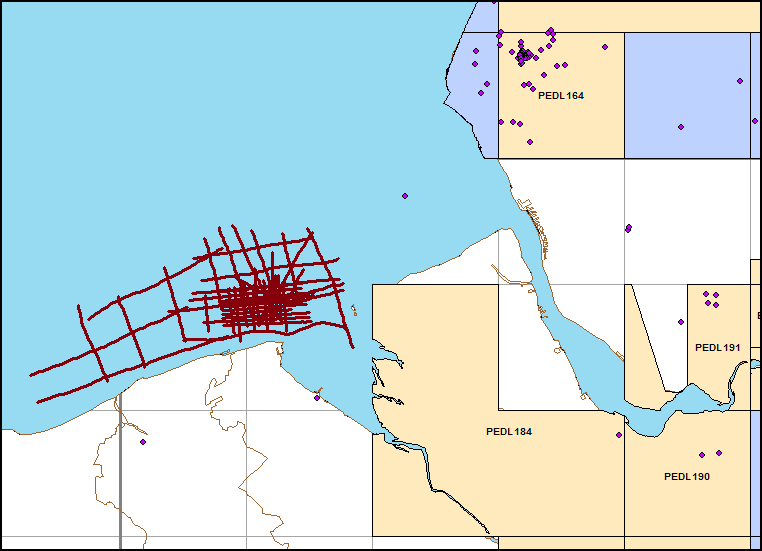
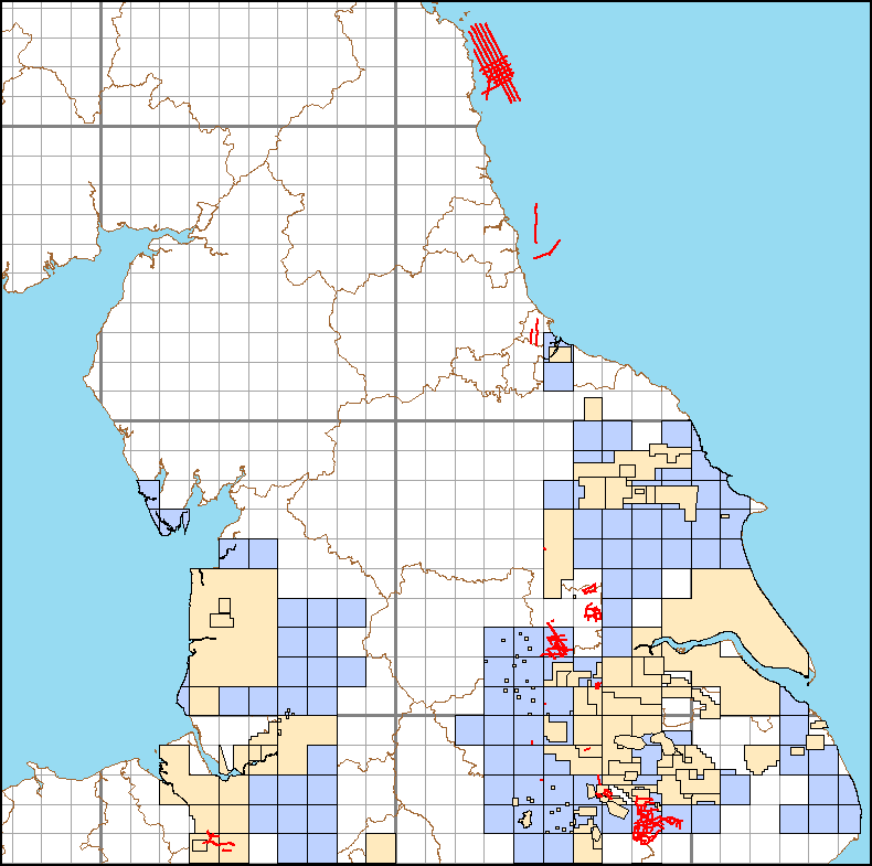
Coal Authority Post Stack Data – New Archive

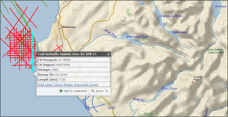
117 post stack SEG-Y format Coal Authority lines have recently been added to the UKOGL archive in April. Released in agreement between UKOGL, the BGS and the Coal Authority, the post stack SEG-Y format seismic data was previously unavailable for these lines and has been reconstructed by scanning and vectorising the hard copy sections by Lynx Information Systems Ltd.

The lines range in vintage from 1971 to 1991 and provide additional coverage over the offshore Durham coal field, Central England and Kent.

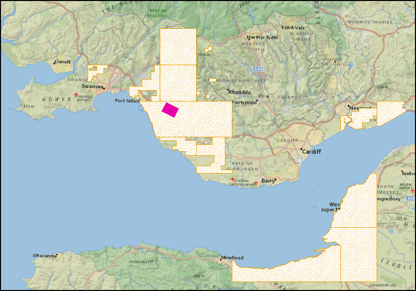
April 2017: Additional Coal Authority Post Stack Seismic Data Highlighted In Red.

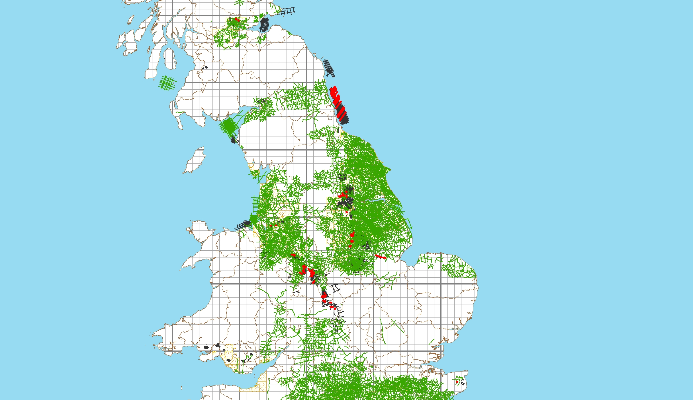
More information regarding these lines and the availability of onshore seismic data recorded over the UK can be found via our interactive map or by contacting UKOGL direct

Coal Authority 3D Surveys

In partnership with the British Geological Survey, we have now added a Coal Authority 3D Seismic Surveys layer to the interactive map as part of our ongoing Post Stack archive.

To date we have identified 6 surveys across the Midlands, South Wales and Scotland.

coa3d_midlandsMidlands

coa3d_walesSouth Wales

coa3d_scotlandScotland

2017 Release & Updated Shape File Downloads

We have revised the UKOGL seismic coverage to incoporate the surveys now released with the turning of the year. This brings into the public domain, 2D surveys acquired around Keyingham, Yorkshire and on the Isle of Wight, along with the the Broughton 3D survey in North Lincolnshire.

Updated Shape File downloads of both the 2D and 3D way-pointed navigation data are now available on the UKOGL Archives Page.


UKOGL Archive – Conoco Data

Two new Conoco surveys have been archived to UKOGL. The 1964 and 1965 vintage data sets consist of post stack SEG-Y and a scanned hard copy image for each line. The SEG-Y was reconstructed by scanning and vectorizing the sections.

The1965 Gloucester survey is comprised of 7 lines NW of the Severn Estuary located over an area without any previous available seismic data.

C65 Seismic Lines

The 1964 Wigton survey is located in Cumbria complimenting the seismic coverage that is already available over this area.

c64-w

Both surveys can be licensed through UKOGL with high resolution JPEG images available for each line to provide an indication of data quality.

Coal Authority Seismic – July-August Updates

Work remains ongoing to compile a reconciled archive of Post Stack seismic surveys as acquired by the Coal Authority and its predecessors.

Over recent months imagery for an additional 331 lines have been added to the Online map, including transitional-marine surveys acquired Offshore Durham and at St. Bees in the southern sector of the Solway Firth.

stbees


Proprietary Seismic Surveys

In partnership with the Oil & Gas Authority and the UK Onshore Operators Group, the locations of recently acquired 2D and 3D proprietary seismic surveys are now available to view through the On-Line Map.

All are displayed with basic information only, for reference but not for selection and individual surveys will only be added as the finalised locations become available to UKOGL.

Such surveys are held for a proprietary period of between 3 to 5 years depending on the Licence terms under which they were acquired. A prospective release date is provided subject to any representations that may be lodged by the Operator.

prop-v3

Coal Authority Seismic – June Updates

An additional 159 Coal Authority 2D lines have been added to the archive this month and seismic images uploaded for preview through the On-Line Map.

This includes 2 significant offshore surveys shot over the Point Of Ayr Prospect located just off the North Wales and Merseyside coast line.

coal-part-2106-06

Geologists’ Association Dorset Coast Guide

We are pleased to make available a series of 6 regional transect interpretations as compiled by UKOGL in support of the GA Guide No. 22 – ‘Geology of the Dorset Coast’ (2nd Edition-2016) by John C. W. Cope.

dorset guide

All profiles are published both with and without interpretation, along with a detailed synopsis of each transect. With the kind permission of the Geologists’ Association these interpretations and a brief overview are also available to view and download through the UKOGL web site. Please see the associated News Post ‘UKOGL Seismic Interpretations’ for access details.

This publication is just one of a wide ranging series of guides produced by the GA that will be of interest to both the professional and amateur geologist alike. For full details please visit the GA Field Guides Page.


UKOGL Seismic Interpretations

We have created a new map layer to provide easy access to our compilation of UKOGL Seismic Interpretations.

interps2

This pulls together our existing Regional Transects series, along with a shorter set of merged profiles produced in support of the GA publication ‘Geology of the Dorset Coast’ – see the associated News Post ‘Geologists’ Association Dorset Coast Guide’ for further details.

Each profile is provided as a PDF presentation to view and download.

profile-1-interpretation

profile-1-key

Further transects and interpretations will be added as and when they are compiled.

Coal Authority Seismic – May Updates

Images for an additional 176 Coal Authority 2D profiles have been uploaded this month.

This includes significant coverage over the Kellingley Prospect (Yorkshire), Witham (East Midlands) and Amble-Alnmouth Bay (Offshore Northumberland).

coal-arc-may16