The UK Onshore Geophysical Library now has a Twitter account. Follow UKOGL to keep up to date with our latest UKOGL news and updates to the national archive. @ukoglnews
UKOGL Archive – Conoco Data
Two new Conoco surveys have been archived to UKOGL. The 1964 and 1965 vintage data sets consist of post stack SEG-Y and a scanned hard copy image for each line. The SEG-Y was reconstructed by scanning and vectorizing the sections.
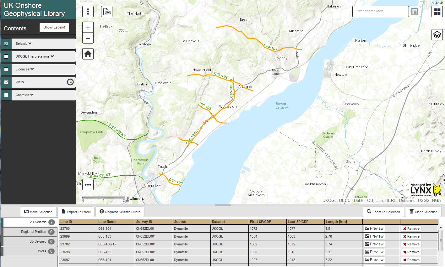
The1965 Gloucester survey is comprised of 7 lines NW of the Severn Estuary located over an area without any previous available seismic data.
The 1964 Wigton survey is located in Cumbria complimenting the seismic coverage that is already available over this area.
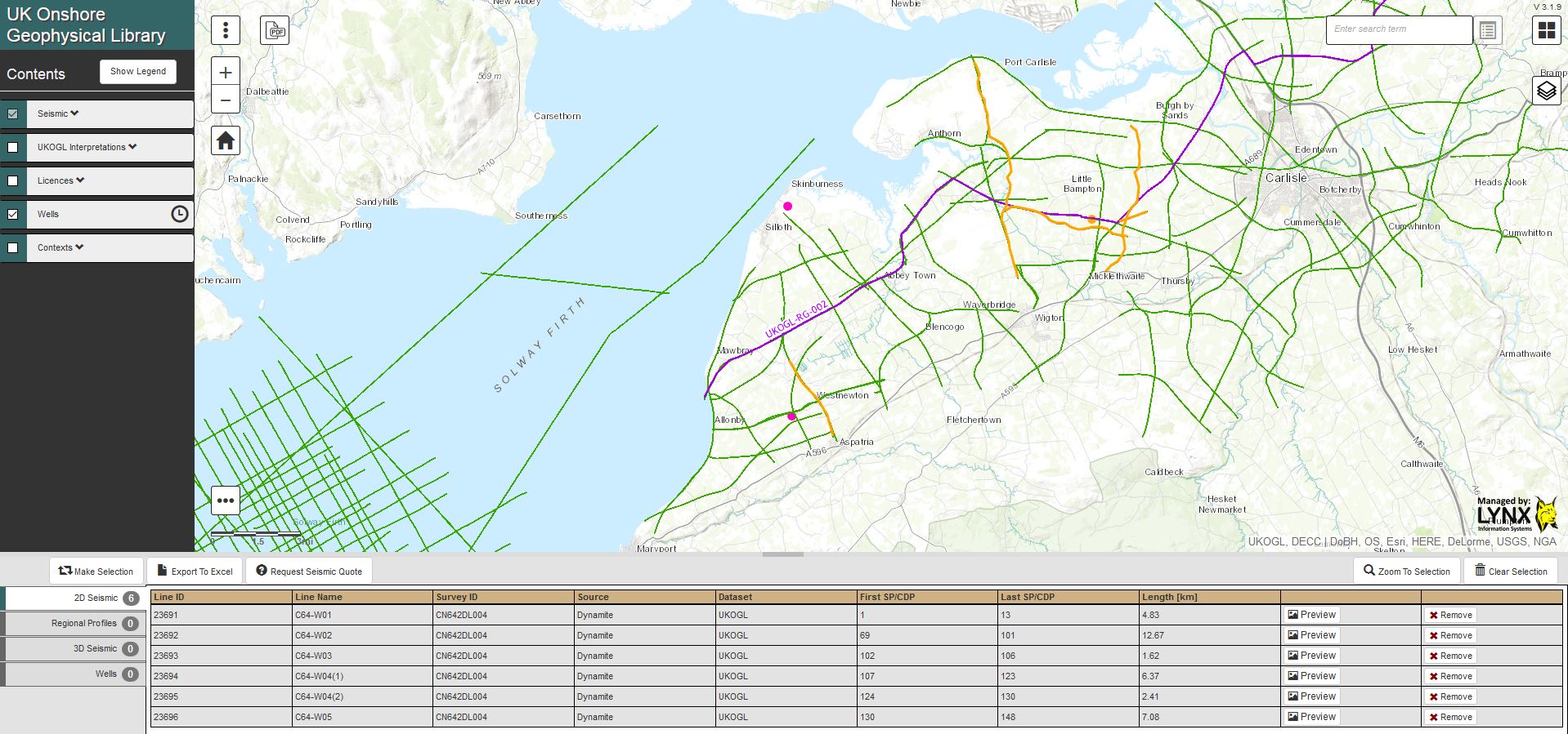
Both surveys can be licensed through UKOGL with high resolution JPEG images available for each line to provide an indication of data quality.
Prospex 2016
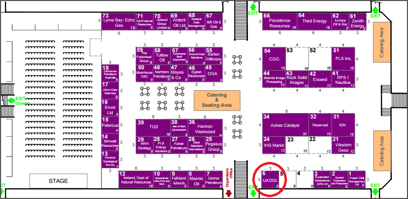
We are pleased to be in attendance at the annual UK Prospects Fair, to be held at the Business Design Centre, Islington, London over the 14th and 15th of December.
Full details of the event, exhibitors and talks can be found on the PESGB site.
We can be found at Booth 6 and look forward to welcoming you to our stand.
UKOGL September Archive – New Data Release
Two new surveys have been added to the UKOGL archive and are available to be licensed:
Located in South Yorkshire, survey CN642DL002 is comprised of 24km of 2D seismic data consisting of 7 lines recorded in 1964, the hard copy seismic sections were scanned and vectorized to create the SEG-Y data. High resolution JPEG images of the data are available to download for free.

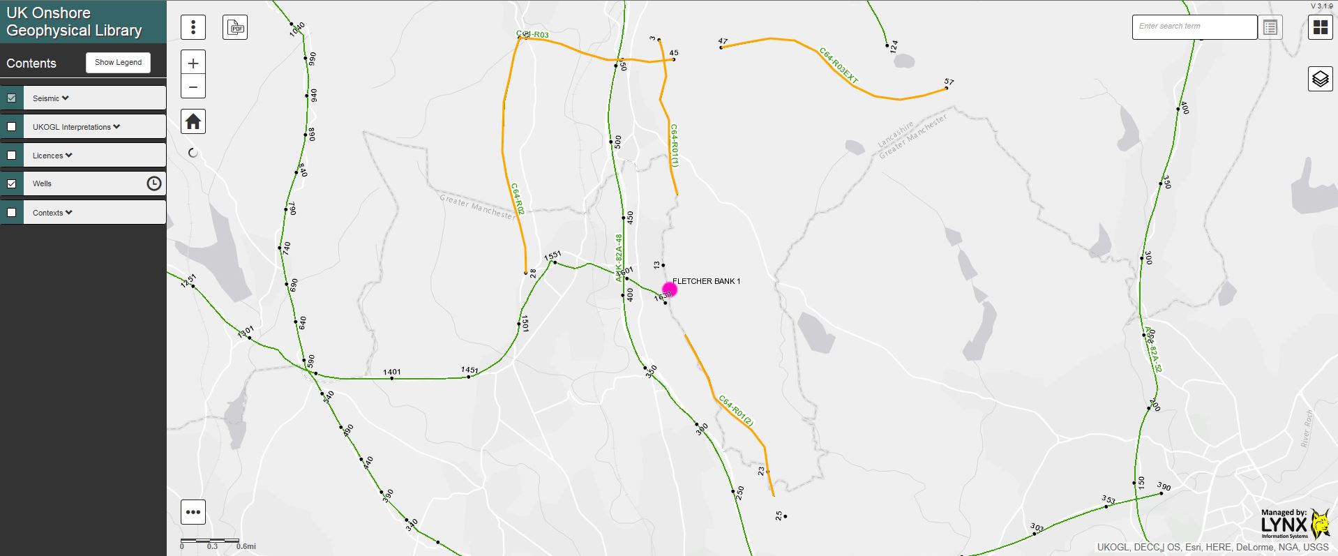
Located in Lancashire, survey CN642DL003 is comprised of 15km of 2D seismic data consisting of 5 lines recorded in 1964, the hard copy seismic sections were scanned and vectorized to create the SEG-Y data. High resolution JPEG images of the data are available to download for free.
Coal Authority Seismic – July-August Updates
Work remains ongoing to compile a reconciled archive of Post Stack seismic surveys as acquired by the Coal Authority and its predecessors.
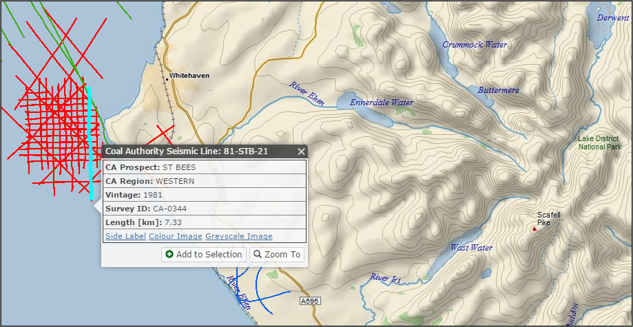
Over recent months imagery for an additional 331 lines have been added to the Online map, including transitional-marine surveys acquired Offshore Durham and at St. Bees in the southern sector of the Solway Firth.
Proprietary Seismic Surveys
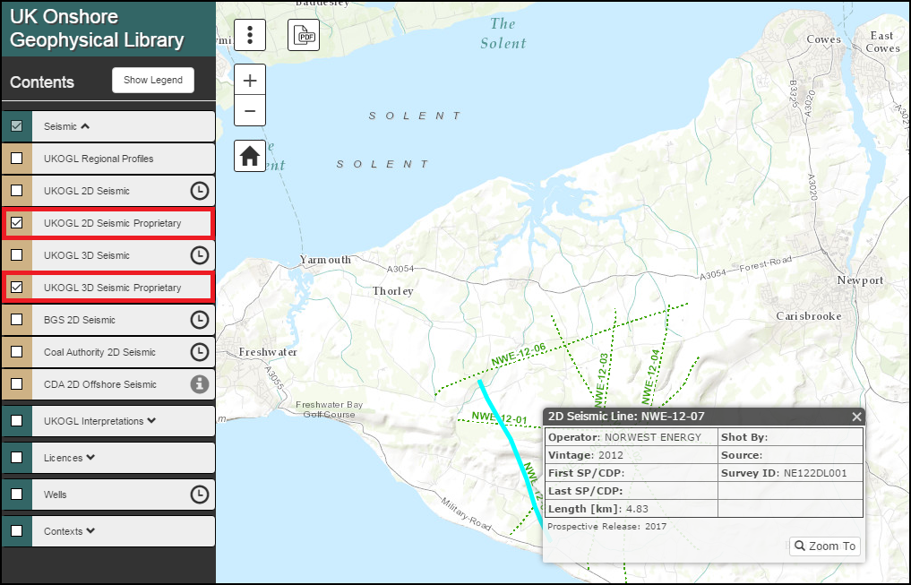
In partnership with the Oil & Gas Authority and the UK Onshore Operators Group, the locations of recently acquired 2D and 3D proprietary seismic surveys are now available to view through the On-Line Map.
All are displayed with basic information only, for reference but not for selection and individual surveys will only be added as the finalised locations become available to UKOGL.
Such surveys are held for a proprietary period of between 3 to 5 years depending on the Licence terms under which they were acquired. A prospective release date is provided subject to any representations that may be lodged by the Operator.
Coal Authority Seismic – June Updates
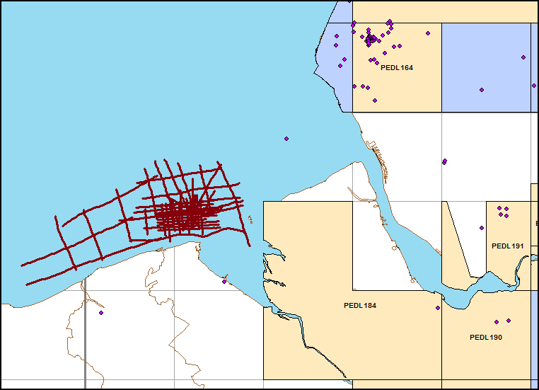
An additional 159 Coal Authority 2D lines have been added to the archive this month and seismic images uploaded for preview through the On-Line Map.
This includes 2 significant offshore surveys shot over the Point Of Ayr Prospect located just off the North Wales and Merseyside coast line.
East Midlands Field Development Plans
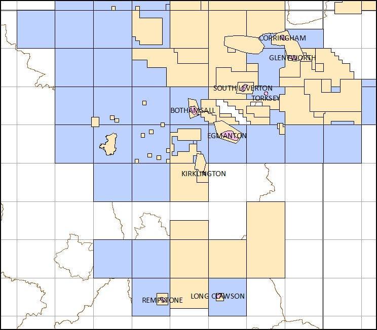
We have uploaded a new batch of reports to supplement our archive of legacy Field Development Plans, released on behalf of the OGA. All date from the 1990’s and cover East Midlands fields:
- Bothamsall
- Corringham
- Egmanton
- Glentworth
- Kirklington
- Long Clawson
- Rempstone
- South Leverton
- Torksey
Geologists’ Association Dorset Coast Guide
We are pleased to make available a series of 6 regional transect interpretations as compiled by UKOGL in support of the GA Guide No. 22 – ‘Geology of the Dorset Coast’ (2nd Edition-2016) by John C. W. Cope.
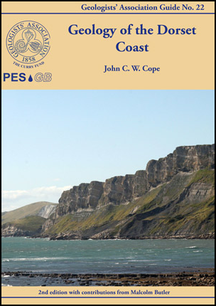
All profiles are published both with and without interpretation, along with a detailed synopsis of each transect. With the kind permission of the Geologists’ Association these interpretations and a brief overview are also available to view and download through the UKOGL web site. Please see the associated News Post ‘UKOGL Seismic Interpretations’ for access details.
This publication is just one of a wide ranging series of guides produced by the GA that will be of interest to both the professional and amateur geologist alike. For full details please visit the GA Field Guides Page.
UKOGL Seismic Interpretations
We have created a new map layer to provide easy access to our compilation of UKOGL Seismic Interpretations.
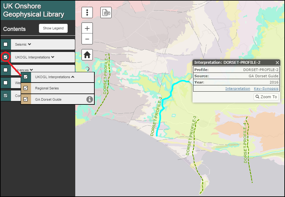
This pulls together our existing Regional Transects series, along with a shorter set of merged profiles produced in support of the GA publication ‘Geology of the Dorset Coast’ – see the associated News Post ‘Geologists’ Association Dorset Coast Guide’ for further details.
Each profile is provided as a PDF presentation to view and download.
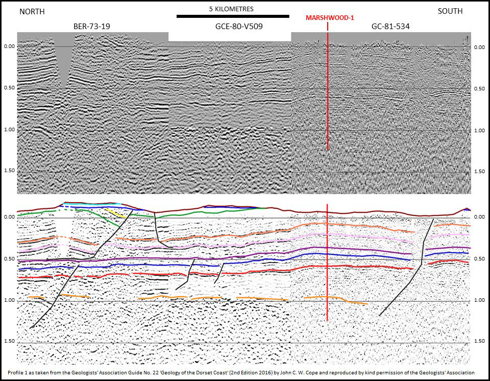
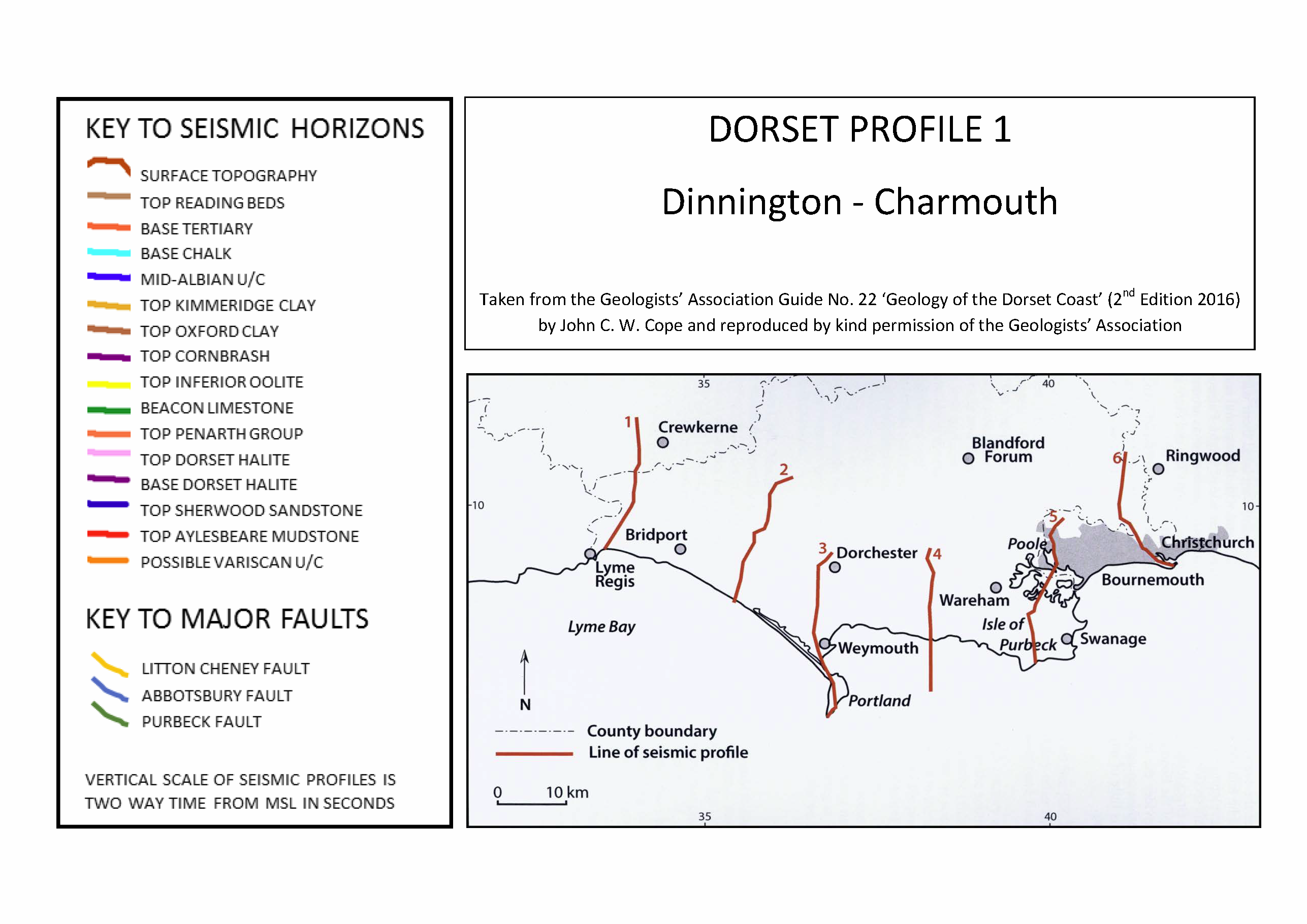
Further transects and interpretations will be added as and when they are compiled.