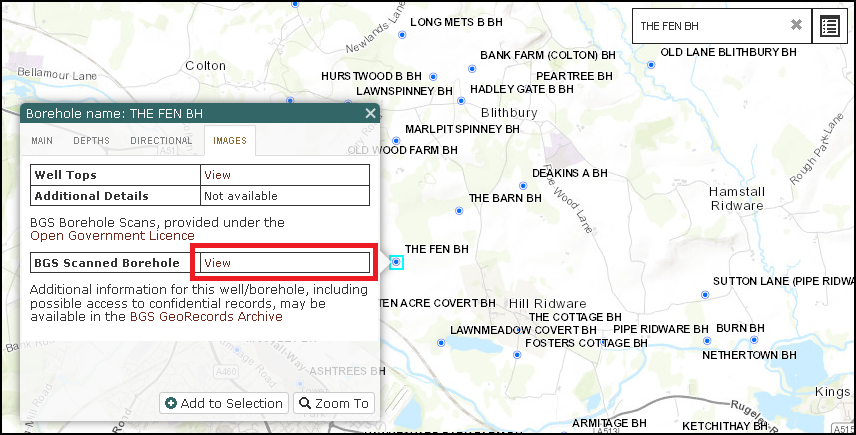
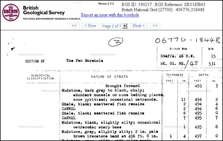
We have now added a direct link from our Wells map layer allowing the user to seamlessly access the equivalent records for each individual well and borehole as held in the BGS GeoRecords Open Licence archives.
The link can be found on the Images tab when querying any location within the Wells Layer.


Whilst records for many of the Exploration wells in the BGS Archives may currently be classified as confidential, for the majority of wells within the UKOGL Additional Boreholes layer supplemental information should be freely available.
For full details of the extensive resources as held by the BGS and also guidance as how to access data, including Confidential Records, please visit the BGS GeoRecords web site.