We have added a new function to the Interactive Map allowing the user to interrogate the entire Industry Reports & Resources online archive via a ‘catch all’ search.
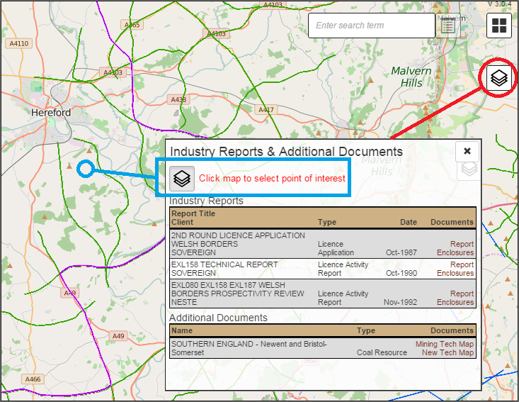
By selecting a point of interest, the footprint is able to identify all underlying National Grid references, Licences and Fields, even if not displayed, and locate all available associated reports.
The results are displayed chronologically providing hyperlinked access to Licence Applications, Licence Activity Reports, Field Development Plans and Licence Relinquishments, along with regional based resources including BGS Prospectivity Reports, UK Coal Resources & New Exploitation Technologies Maps and BGS Sub-Surface Memoirs.