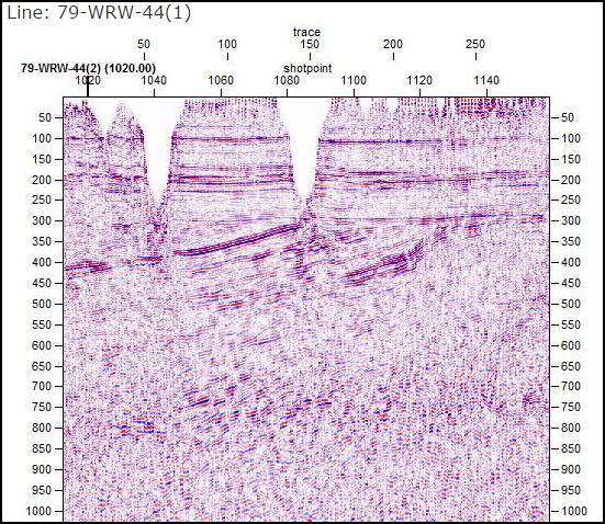
As part of our ongoing reconciliation of the Coal Authority Post Stack seismic archive, we are pleased to announce that, along with the provision of an updated map layer, we have started to upload seismic images of this coverage. Side-labels have been created for all lines and the seismic images will continue to be added over 2016 as the archive is completed.
This coverage offers a valued addition to the national archive, providing infill for many areas of the UK not surveyed by the Oil & Gas sector.
Presently, the map coverage displays the Coal Authority lines for which Post Stack data exists but we aim to add an additional layer showing lines that have been acquired but not processed to date.
This work is being carried out in partnership with the British Geological Survey (BGS). Post Stack data can be Licensed directly through UKOGL, however Pre Stack Field Data is only available directly from the BGS at present.

