Additional DECC Layers

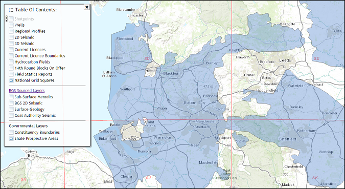
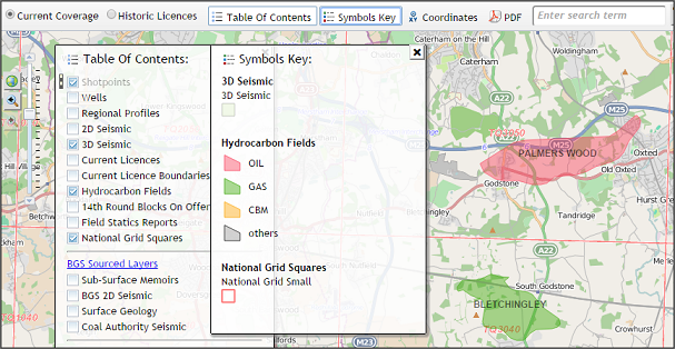
In association with the recent upgrade to Licence information, additional layers are now available, as provided through the DECC Web Service. Recent additions to the UKOGL map include an expanded Hydrocarbons Fields layer and a backdrop of current Shale Prospective areas.
hcarbon-fields3

shale-v2-3

Licence Information Upgrade

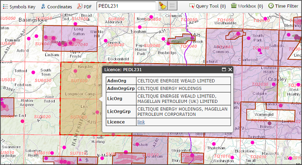
On the back of ongoing developments by the Mapping & GIS team at DECC, we are now able to display current Licence information direct from their Web Service. This not only ensures that Licence boundaries are kept updated but also allows for the display of additional information such as administrative and group members.

new-lic3

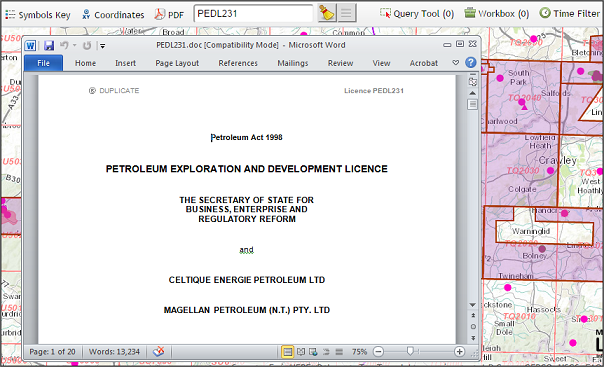
DECC provide hyperlinks to original Licence documentation, which can also be accessed through the UKOGL web map.

lic-example3

Web Site Issues

Recent Windows Updates appear to have had an adverse affect on the functionality of the UKOGL Interactive Map when viewed with Internet Explorer. We are working hard to identify and resolve these issues.
Currently the map has been tested to work with Internet Explorer 8-11. If you experience problems it may help to clear the browser cache and reload the map.
Alternative browsers are unaffected and the site appears robust when utilised with either Chrome, Firefox or Opera.

The UKOGL Team

staff-v2

Time Filter Update

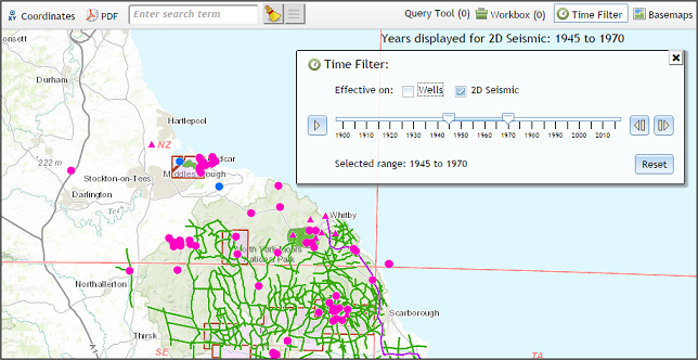
The Time Filter function has now been upgraded to allow 2D seismic and wells to be filtered independently of each other. For example, in the snap shot below, the seismic has been filtered to just show those lines acquired between 1945 and 1970, displayed against a backdrop of the current wells coverage.

timefilt3

DECC Licence Relinquishment Reports

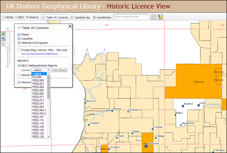
Licence Relinquishment Reports, as provided to DECC by operators, are available to view and save through the Historic Tab on the UKOGL interactive map.

relrep4

Recent enhancements include the addition of a drop down list in the Table Of Contents, detailing the Licences for which reports are currently available, along with a quick view facility.

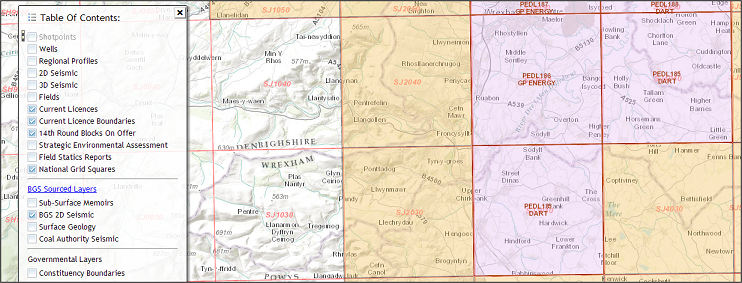
14th Round Opens

With the opening of the 14th Onshore round, we have updated the UKOGL Map to display the blocks on offer (pale orange).

open-v3

For official information on the round, please visit the DECC website here.

Energy Source

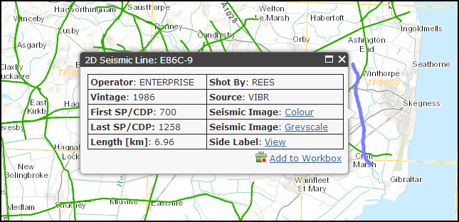
The 2D seismic information display has been revamped and now includes Acquisition Contractor and Energy Source.

new-seismic

Full Field and Processing parameters, as presented on the original seismic sections, still remain available to view via the Side Label hyperlink.

Post Codes & Gazetteer

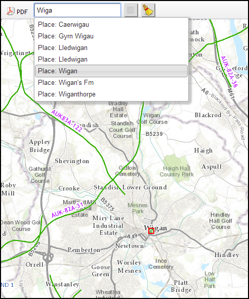
We have expanded our Interactive Map search functionality to now include Post Codes and a full Gazetteer, allowing for the efficient location of  and zoom to any area of interest.

postcode

placename

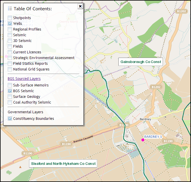
Governmental Layers

We have added a new layer to the Interactive Map, allowing for the display of governmental administrative and electoral boundaries. This information is supplied as an Open Data Source by the Ordnance Survey through their Boundary-Line product.

consituencies